Oregon max temperatures
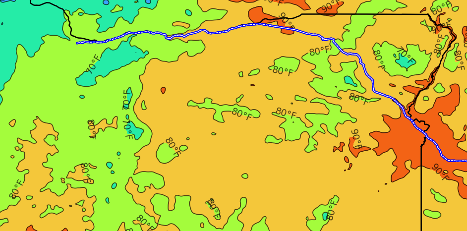
The PRISM Climate Group publishes data on max temperatures throughout the US on every date. One can use it to draw heat maps for any state and date.
In particular, one can think about temperature changes as one drives along a highway. An example for Oregon and the I-84 is shown below.
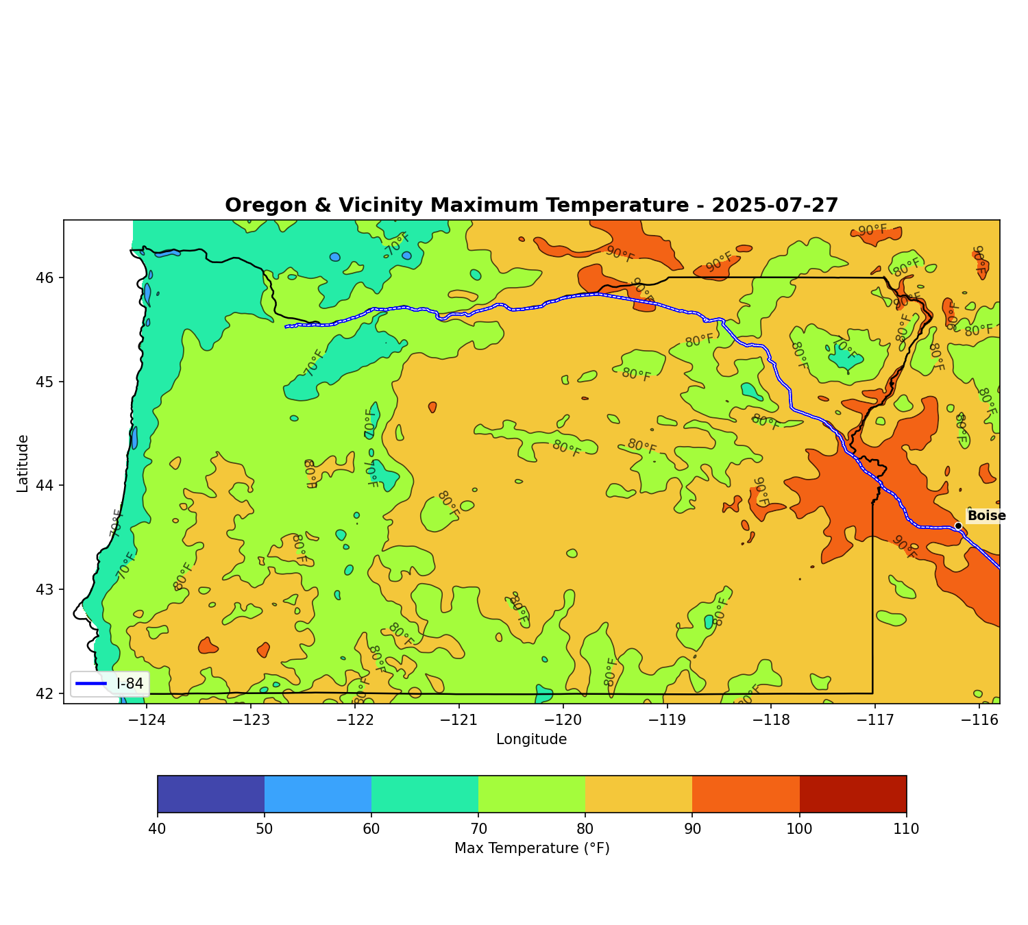
Temperatures in Oregon on July 27, 2025. Own creation with data from PRISM and the US Census Bureau (see source details notes below).
Oregon and I-84 temperature and geographical data.
- Max Temperatures throughout Oregon and surroundings on July 27, 2025 (tif file).
Data processed from the raw data for Max Temperatures throughout the US on July 27, 2025 (large 52MB tif file) from PRISM Climate Group, Oregon State University, https://prism.oregonstate.edu, created June 19, 2026. Freely reproduced and distributed with attribution to PRISM. - Geographical data for the Oregon border and the I-84 interstate from the US Census Bureau TIGER:
- oregon.geojson: the Oregon state boundary, extracted from the State Boundaries file (
tl_2025_us_state). - i84.geojson: the Interstate 84 route, extracted from the Primary Roads national shapefile (
tl_2025_us_primaryroads).
- oregon.geojson: the Oregon state boundary, extracted from the State Boundaries file (
Sources for the above data
- PRISM Climate Group, Oregon State University, https://prism.oregonstate.edu.
- US Census Bureau, Topologically Integrated Geographic Encoding and Referencing system (TIGER) 2025 data, at https://www2.census.gov/geo/tiger/TIGER2025